Geographical Simulation and Optimization System (GeoSOS)
Spatio-temporal land change modeling is an effective and reproducible tool for analyzing future changes in landscape dynamics driven by socio-economic and natural environmental factors. By constructing a linkage-feedback model structure, future land use changes can be simulated and predicted, supporting the development of future land policies. A commonly used approach to simulate LUCC is the cellular automata (CA) model, which features a relatively simple structure and can generate rich spatial patterns while effectively representing non-linear spatially stochastic land use change processes.
Our team's proposed Future Land Use Simulation (FLUS) model significantly improves upon the traditional CA model. Firstly, by interactively coupling top-down system dynamics and bottom-up cellular automata, the FLUS model greatly enhances the ability to accurately simulate future land use spatial patterns under multiple scenarios. Secondly, the FLUS model requires only one phase of land use data as the initial land data for simulation, significantly reducing land input data requirements. Thirdly, the FLUS model has developed a set of adaptive inertia and competition mechanisms that can manage and reflect the complex competition and interactions between different land use types, exhibiting an excellent ability to simulate various types of land change. Fourthly, the FLUS model is developed based on the C++ language and boasts exceptional computing power to support large-scale, long-term, high-resolution land use simulations. A detailed description of the FLUS model's principles and structure can be found in the linked paper: https://doi.org/10.1016/j.landurbplan.2017.09.019. .
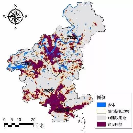
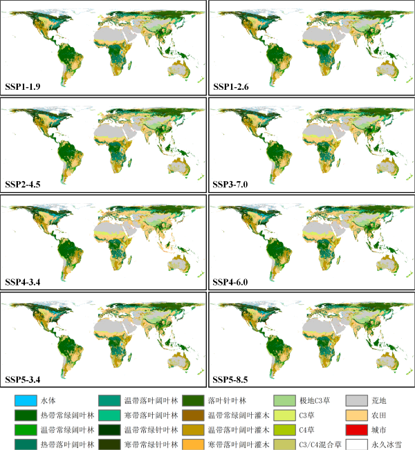
The FLUS model has been widely employed at global and regional scales and was reviewed in the IPCC Sixth Assessment Report as an outstanding representative of future land use simulation models. In studies related to FLUS model applications, it has demonstrated exceptional performance when coupled with models such as system dynamics models and land surface process models to conduct high-resolution, long-time-series, and high-accuracy land change simulations in diverse contexts like climate change, urban planning, land management, and ecological conservation.


To better enable the FLUS model to serve related disciplines and research areas, our team has decided to open-source the model for non-commercial academic research purposes. The source code is a console version of the FLUS model software, allowing users to easily adjust input parameters and achieve faster running speeds than the desktop version through configuration files.
You can download the FLUS model source code in the console version in: Here
Liu Xiaoping, Liang Xun, Li Xia*, Xu Xiaocong*, Ou Jinpei , Chen Yimin, Li Shaoying, Wang Shaojian , and Pei Fengsong. 2017. A future land use simulation model (FLUS) for simulating multiple land use scenarios by coupling human and natural effects. Landscape and Urban Planning .168: 94–116. https://doi.org/10.1016/j.landurbplan.2017.09.019.
If you have any comments and suggestions, please contact Prof. Xiaoping Liu: Liuxp3@mail.sysu.edu.cn
Last updated: 26 May, 2023