Geographical Simulation and Optimization System (GeoSOS) Global LUCC simulation product at a 1-km resolution
Future Land Use
Simulation Model Software:
GeoSOS-FLUS
Our newly proposed FLUS model is an integrated model for multi-type land use
scenario simulations by coupling human and natural effects. At the same time,
the spatial simulation module of the FLUS model was made into GUI software
named GeoSOS-FLUS
. The GeoSOS-FLUS was developed as an
extension of the previous GeoSOS software to facilitate the multiple land use
change simulations. The software provides a multiple CA allocation model for
simulating land use change and scenario analysis.
The
multiple CA allocation model is developed based on the theory of Cellular
Automata (CA), but with several improvements over traditional CA:
- The multiple CA allocation
model is based on the analysis of the pattern of the most recent land use
instead of the change in land use across two terms. This improvement not
only avoids the effect of error accumulation from the disagreement between
two terms of land use data but also allows the model to have a much wider
range of applications.
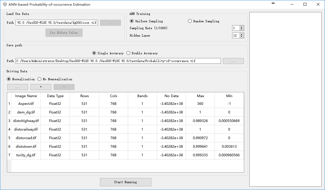
- An artificial neural network
(ANN) is used for taking both human activities and natural ecological
effects into consideration by finding the complex relationships between
land use patterns and various human and natural driving forces.
- An elaborate self-adaptive
inertia and competition mechanism is designed to address the competition
and interactions among different land use types. The stochastic
characteristics of this mechanism enable the model to reflect the
uncertainty of real-world LUCC dynamics.
To
ensure the speed of the model, GeoSOS-FLUS was developed purely in
the C++ language. The ANN technique in our model is from a powerful open source
library called Shark 3.1.0 (http://image.diku.dk/shark/).
The UI of the software is built using a famous open source library Qt 4.8.5 (https://www.qt.io/download/). This UI
provides a real-time display of dynamic changes of land use in simulation
processes. Moreover, the use of the open source library GDAL 1.9.2 (http://www.gdal.org/) allows our model to
directly read and write raster data (.tif, .img, .txt files) that includes
geographical coordinate information.
Therefore, the GeoSOS-FLUS is a powerful tool for making land use
change simulations more convenient and efficient, which can be easily used for
several purposes including: 1) the establishment of urban construction
boundaries (UCBs); 2) the high-resolution simulation of internal land use
change within a city; 3) environmental management and urban planning; 4)
large-scale land use change and its effect on climate; 5) regional land
suitability analysis; 6) early warning for the loss of natural and agricultural
land cover types; and 7) hotspot recognition for land-use change. When
simulating future land use patterns, users need other external models, such as
the SD model or Markov chain, to project future land use demands as inputs of
GeoSOS-FLUS.
A
user’s manual is available for downloading at a link that appear below, which
can provide users of GeoSOS-FLUS a “quick start” on how to use the
software. All of the necessary data and files for the tutorial have been
provided and can be used as templates for formatting your own files later on.


Download
You
can download the paralleled version FLUS V2.4 here: GeoSOS-FLUS V2.4
You
can download UGB-FLUS/FLUS V2.3 here: GeoSOS-FLUS V2.3
You
can download a English version of User Manual for GeoSOS-FLUS here: GeoSOS-FLUS
Manual_En
You
can download a Chinese version of User Manual for GeoSOS-FLUS here: GeoSOS-FLUS Manual_CHS
Reference
Liu Xiaoping, Liang Xun, Li Xia*, Xu Xiaocong*, Ou Jinpei , Chen Yimin, Li Shaoying, Wang Shaojian , and Pei Fengsong. 2017. A future land use simulation model (FLUS) for simulating multiple land use scenarios by coupling human and natural effects. Landscape and Urban Planning, 168: 94–116. (PDF Fulltext)
Liang Xun , Liu Xiaoping*, Li Dan, Zhao Hui, Chen Guangzhao. 2018 . Urban growth simulation by incorporating planning policies into a CA-based future land-use simulation model. International Journal of Geographical Information Science, 32(11): 2294–2316. (PDF Fulltext)
Liang Xun , Liu Xiaoping*, Li Xia*, Chen Yimin, Tian He, Yao Yao. 2018 . Delineating multi-scenario urban growth boundaries with a CA-based FLUS model and morphological method. Landscape and Urban Planning, 177: 47–63. (PDF Fulltext)
Liang Xun, Liu Xiaoping*, Chen Guangliang, Leng Jiye, Wen Youyue & Chen Guangzhao. 2020. Coupling fuzzy clustering and cellular automata based on local maxima of development potential to model urban emergence and expansion in economic development zones. International Journal of Geographical Information Science, 0(0): 1–23. (PDF Fulltext)
If
you have any ideas, suggestions, comments, criticisms, or questions, please
contact Dr. Xun Liang at the following e-mail address: liangx27@mail2.sysu.edu.cn, we would love to
hear from you about our model or software.
Last updated:
25 March, 2020